Catalog Archive
Auction 111, Lot 116
"United States of North America and Part of Canada", Letts & Son
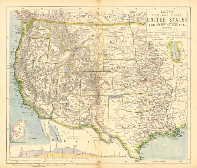
Subject: Western United States and Canada
Period: 1883 (circa)
Publication: Letts's Popular Atlas
Color: Printed Color
Size:
15.5 x 13 inches
39.4 x 33 cm
Download High Resolution Image
(or just click on image to launch the Zoom viewer)
(or just click on image to launch the Zoom viewer)