Catalog Archive
Auction 110, Lot 98

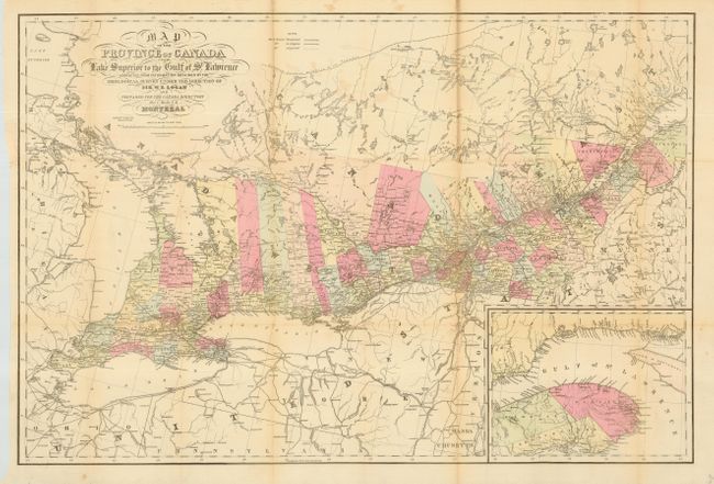
"Map of the Province of Canada from Lake Superior to the Gulf of St. Lawrence…", Keefer, Thomas C.
Subject: Canada

Period: 1857 (published)

Publication: Canada Directory

Color: Hand Color

Size:
33.5 x 22.4 inches
85.1 x 56.9 cm
Download High Resolution Image
(or just click on image to launch the Zoom viewer)

A large and colorful map showing abundant detail of the region with an inset depicting the vicinity the Gulf of St. Lawrence. Includes all of Lakes Superior and Erie. Map is corrected from information by the Geological Survey under the Direction of Sir W.E. Logan. Remarkable detail throughout including political divisions, railroads, etc. Scale 1 inch = 25 miles. A legend explains symbols used to indicate railroads completed, in progress, and those projected. Prepared for the Canada Directory by Thomas C. Keefer, Montreal. A rarely seen map.

References:

Condition: B

Issued folding, now pressed and backed with archival tissue repairing a few small fold splits. Some toning along folds.

Estimate: $300 - $350

Sold for: $220

Closed on 3/2/2005

Archived