Catalog Archive
Auction 110, Lot 88

"North America", Ettling, Theodor
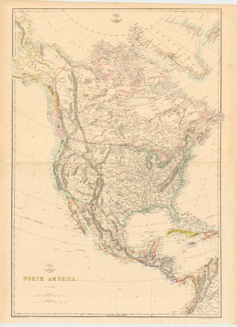
Subject: North America

Period: 1860 (circa)

Publication: Weekley Dispatch Atlas

Color: Hand Color

Size:
17.5 x 25 inches
44.5 x 63.5 cm
Download High Resolution Image
(or just click on image to launch the Zoom viewer)

Detailed map of the continent on two joined sheets. States and territorial borders are shown in the United States and include early territorial boundaries in the western United States: Washington, Oregon, Nebraska, Utah, New Mexico (with Arizona named in the southern region), Kansas, Minnesota and Indian Territory.

References:

Condition: B

Light toning along joint.

Estimate: $160 - $200

Unsold

Closed on 3/2/2005

Archived