Catalog Archive
Auction 110, Lot 733

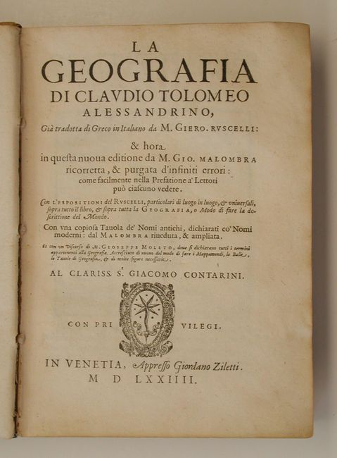
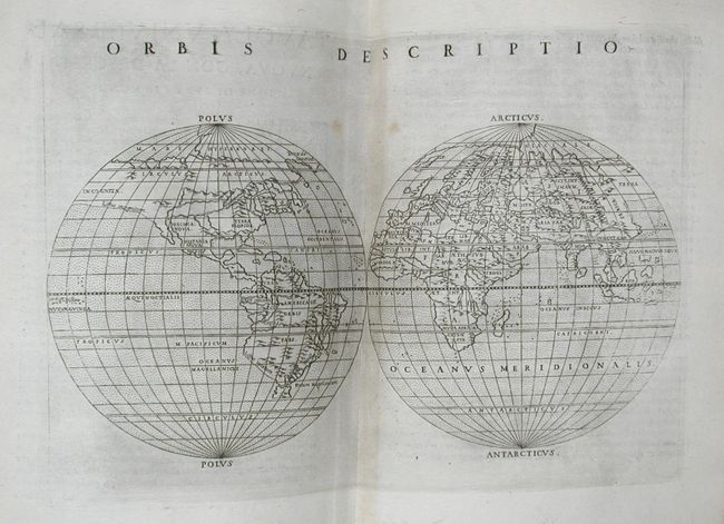
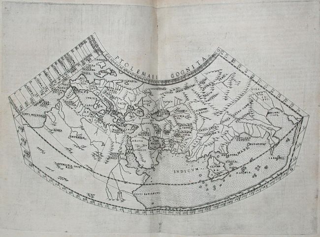
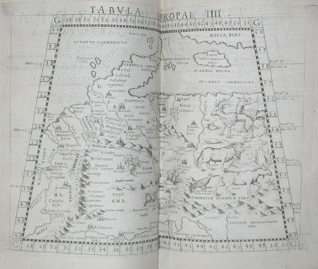
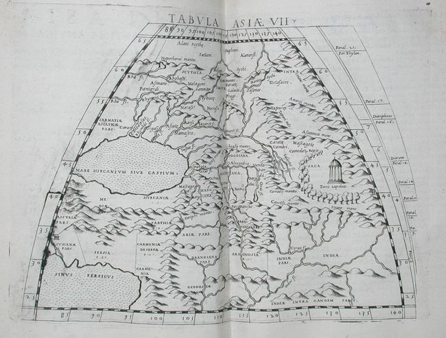
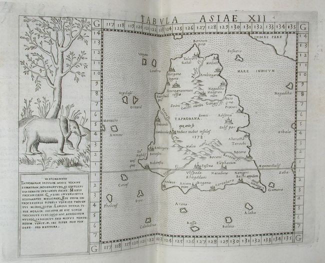
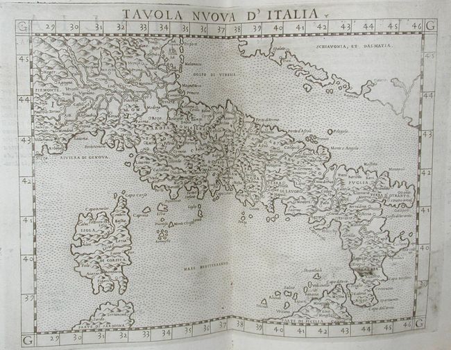
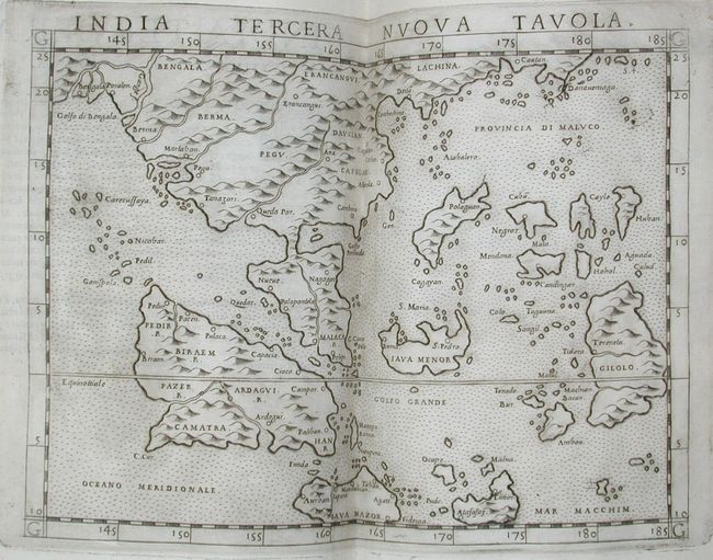
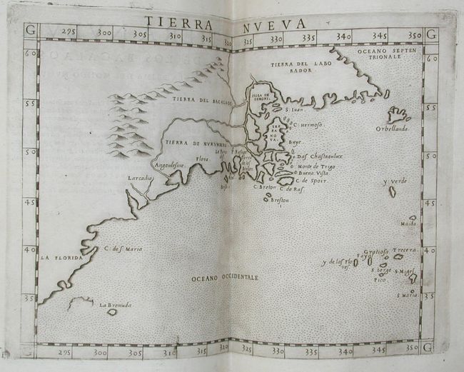
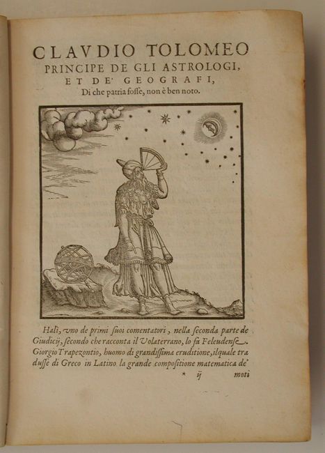
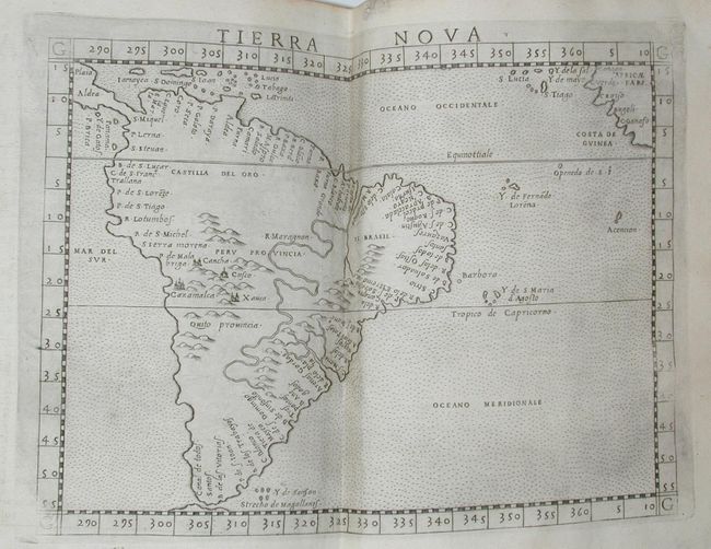
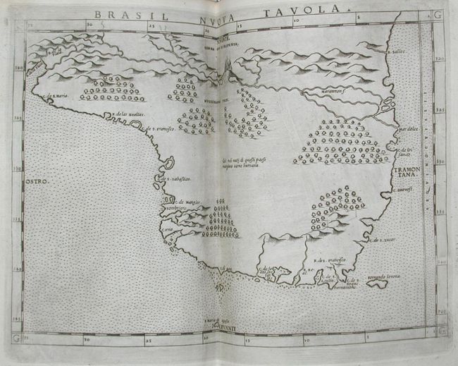
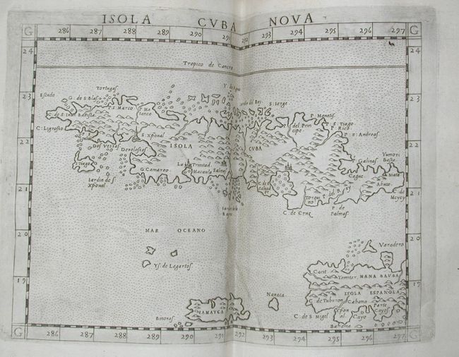
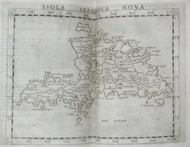
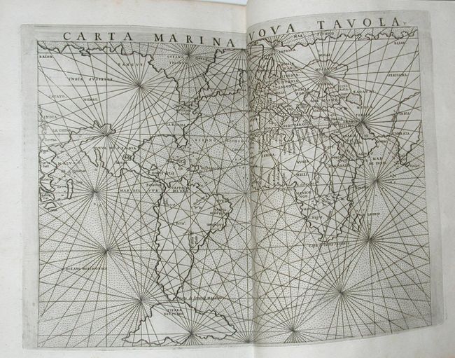
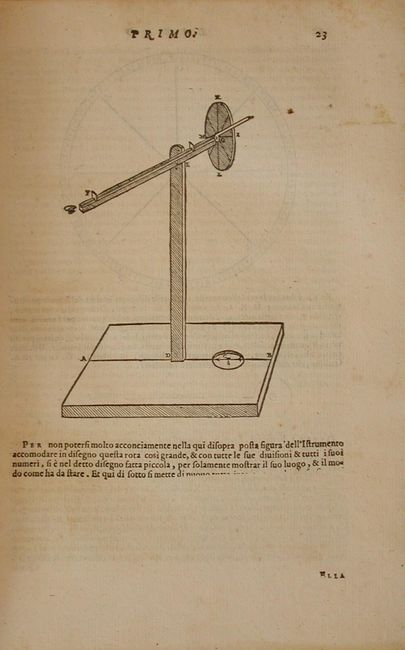
"La Geografia di Claudio Tolomeo Alesandrino…", Ruscelli, Girolamo

Subject: Atlases

Period: 1574 (dated)

Publication:

Color: Black & White

Size:
7 x 9 inches
17.8 x 22.9 cm
Download High Resolution Image
(or just click on image to launch the Zoom viewer)

This is the third Italian edition of Ptolemy's Geografia by Ruscelli. It was revised and corrected by Giovanni Malombra, and was printed by Giordano Ziletti. Two parts in one, complete with sixty-five (65) double-page copper engraved maps with Ptolemaic maps bound first, then the "modern" maps. Sixty-three of the maps are printed from the same plates as the 1561 edition. The exceptions are the Ptolemaic world map, which is on a revised conical projection, and the additional map of Territorio di Roma. In general the maps are enlarged versions of Gastaldi's maps from the 1548 edition. There are two world maps including the interesting 'Mariner's Map'. Of American interest are maps of the Southwest, Northeast, South America, Brazil, Cuba and Hispaniola. Complete text 350 pp.: [leaves: (3) (40) ] Expositioni (leaves: 27l+ blank) Discorso (pp.: 65). Quarto, contemporary vellum binding with manuscript ink title on spine and bottom edge. Overall a fine example of this influential atlas.

References: Mickwitz & Miekkavaara, (Nordenskiold Vol. 2) #220; Phillips (A) #381; Sabin #66505; Shirley #133.

Condition: A

Maps with wide margins & fine impressions and slight plate ink haze, and a few toned. One signature loose with worming in gutter affecting 1 map (Germania). Occasional browning in text. Couple minor cracks and holes in vellum binding.

Estimate: $15,000 - $18,000

Sold for: $14,500

Closed on 3/2/2005

Archived