Catalog Archive
Auction 110, Lot 675
"Carte des Decouvertes faites dans la Mer Pacifique sur la Vaisseau de Roi, La Resolution, Commande par le Capitaine Cook en 1774", Cook, James (Capt.)
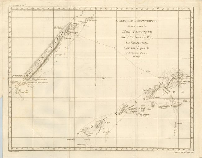
Subject: South Pacific Ocean
Period: 1780 (circa)
Publication: French edition of Cook's Voyages
Color: Black & White
Size:
18 x 14 inches
45.7 x 35.6 cm
Download High Resolution Image
(or just click on image to launch the Zoom viewer)
(or just click on image to launch the Zoom viewer)