Catalog Archive
Auction 110, Lot 609
"[Lot of 11 - India]", SDUK Society for the Diffusion of Useful Knowledge
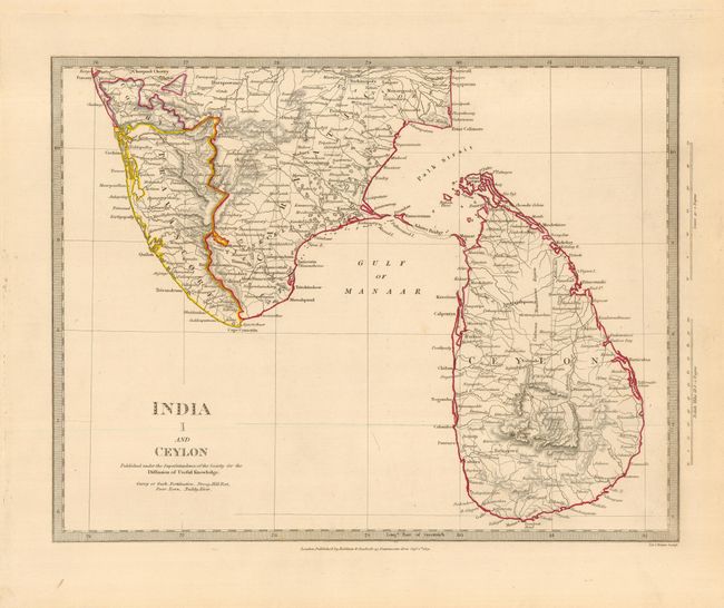
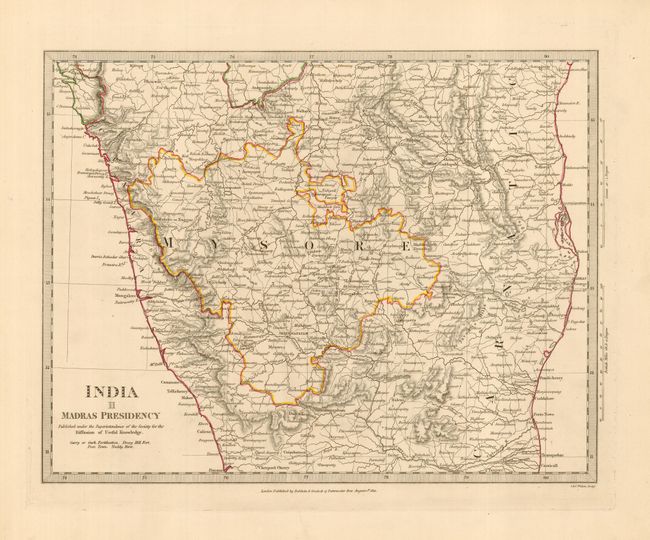
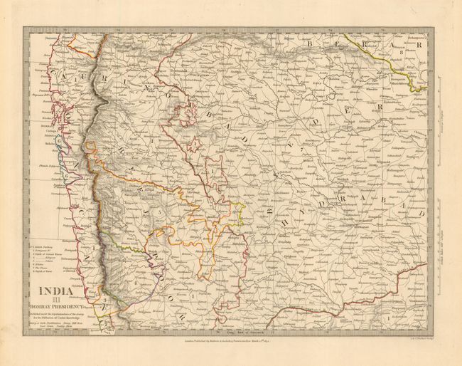
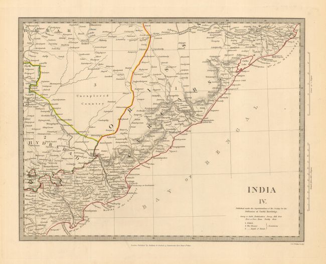
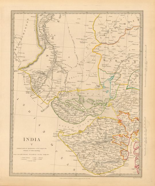
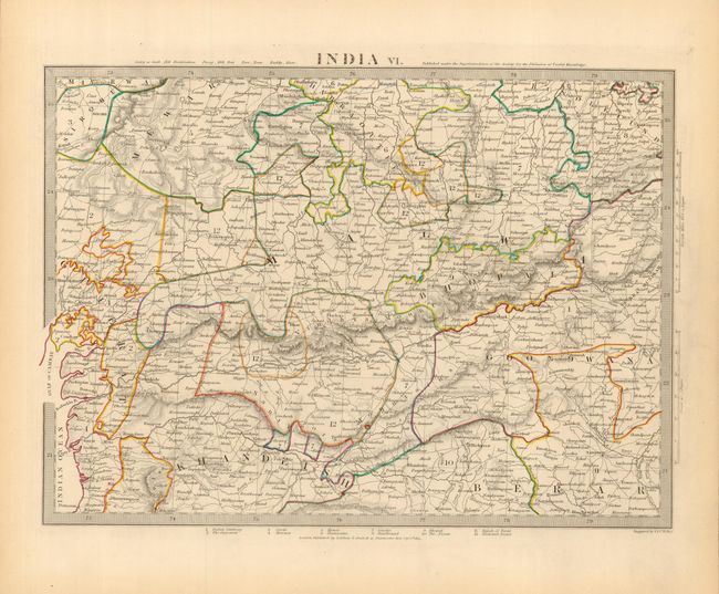
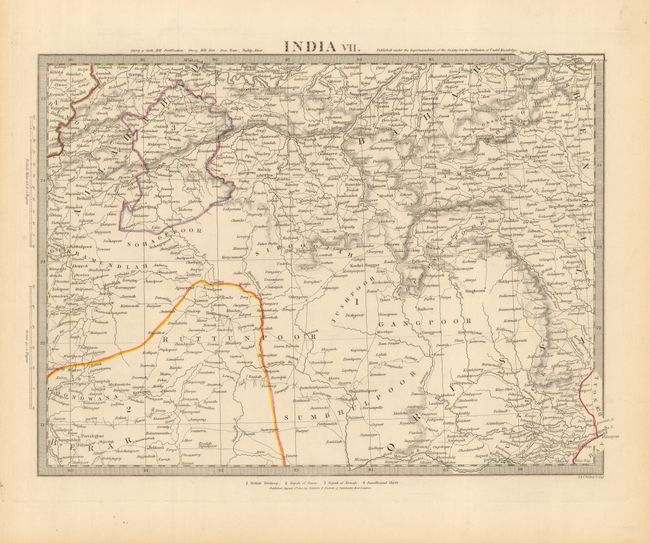
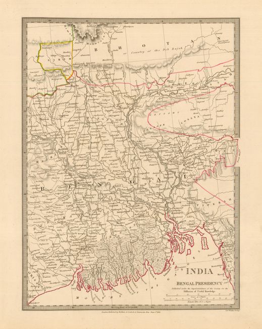
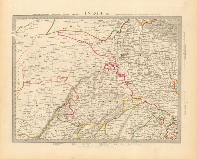
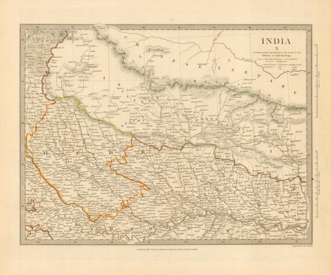
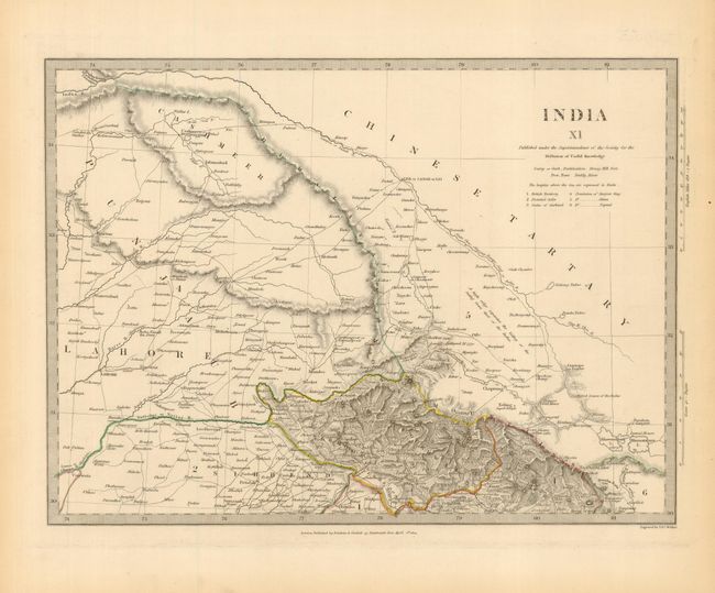
Subject: India and Sri Lanka
Period: 1831-1834 (dated)
Publication:
Color: Hand Color
Size:
13.5 x 10.5 inches
34.3 x 26.7 cm
Download High Resolution Image
(or just click on image to launch the Zoom viewer)
(or just click on image to launch the Zoom viewer)