Catalog Archive
Auction 110, Lot 608

"[2 sheets] A Map of Bengal, Bahar, Oude & Allahabad with Part of Agra and Delhi Exhibiting the Course of the Ganges from Hurdwar to the Sea", Wyld, James

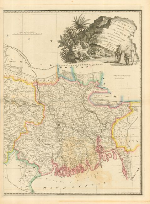
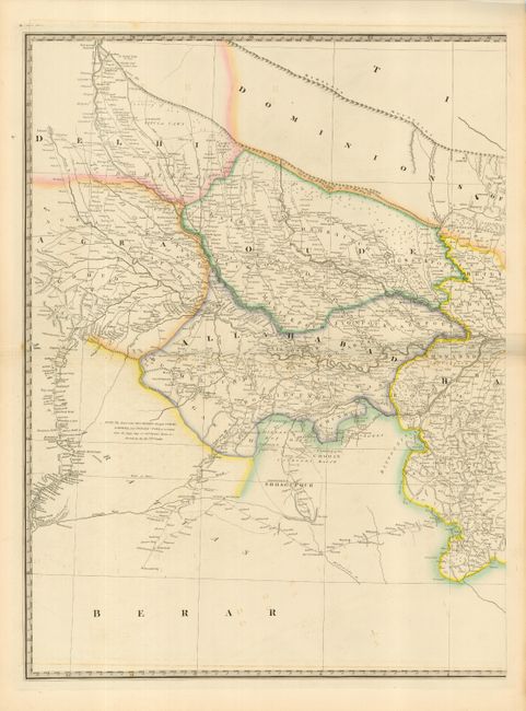
Subject: India & Bangladesh

Period: 1838 (dated)

Publication: New General Atlas

Color: Hand Color

Size:
21 x 28 inches
53.3 x 71.1 cm
Download High Resolution Image
(or just click on image to launch the Zoom viewer)

Impressive, large-scale map on two sheets covering the region from Delhi to the boundary with Assam. Filled with an incredible amount of detail and adorned by a large title cartouche featuring a river god, wild animals and native peoples. The map was originally drawn by James Rennell, the Surveyor General of the East India Company and published by Faden in 1786. James Wyld was successor to William Faden, one of the luminaries of late eighteenth century publishing in England. Wyld maintained the high standard of graphic and factual excellence that had been established by his predecessor and his maps are among the finest published in the early nineteenth century. Unjoined, as issued, size is for each sheet.

References:

Condition: B

Sharp impression and original outline color. Some light offsetting in map, small tear just into neatline, with archival tape on verso, otherwise fine.

Estimate: $200 - $275

Sold for: $150

Closed on 3/2/2005

Archived