Catalog Archive
Auction 110, Lot 604
"Chart of the Discoveries to the North of Japan, in 1643, by the Dutch Ships the Kastrikum & the Breskens, Including the Land of Jeso, Staten Island & Company's Land, of which part was explored in 1787 by the Boussole and Astrolabe", La Perouse, Comte Jean F. Galoup, de
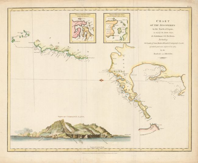
Subject: Japan
Period: 1798 (dated)
Publication: Atlas du Voyage de La Perouse
Color: Hand Color
Size:
19.2 x 15 inches
48.8 x 38.1 cm
Download High Resolution Image
(or just click on image to launch the Zoom viewer)
(or just click on image to launch the Zoom viewer)