Catalog Archive
Auction 110, Lot 425

"Lorraine - Lotharingiae Nova Descriptio", Ortelius, Abraham
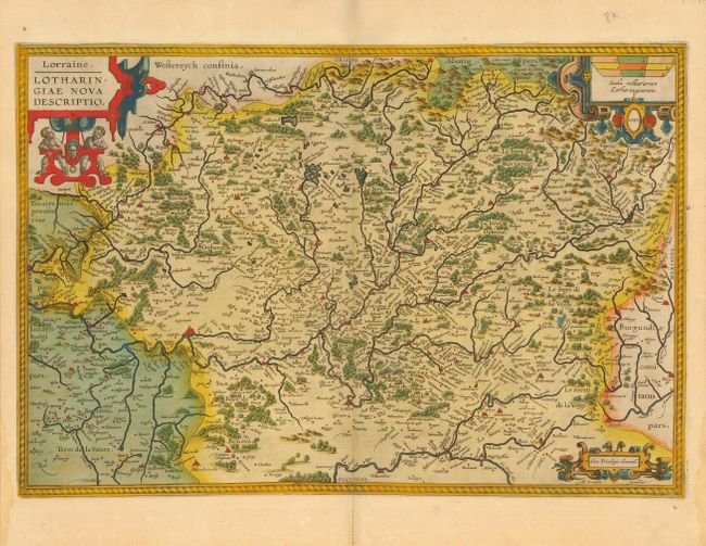
Subject: France

Period: 1595-1609 (circa)

Publication: Theatrum Orbis Terrarum

Color: Hand Color

Size:
19.7 x 13.5 inches
50 x 34.3 cm
Download High Resolution Image
(or just click on image to launch the Zoom viewer)

Beautiful map compiled by Ortelius from two maps by Mercator. It is a compilation from "Lotharingiae Ducatus Pars Septentrionalis" and "Lotharingiae Ducatus Pars Medionalis" published in Mercator's atlas Galliae tabulae Geograhicae, 1585. This lovely copper engraved chart includes Metz and Nancy an is filled with hundreds of villages and place names. Adorned with three elaborate cartouches.

References: Van den Broecke #50.

Condition: A+

Early impression with fine old color that is still bright. On a sheet of thick hand laid paper with wide, original margins. Short marginal centerfold separation.

Estimate: $350 - $400

Sold for: $300

Closed on 3/2/2005

Archived