Catalog Archive
Auction 110, Lot 360

"Ultoniae Orientalis Pars", Mercator/Hondius
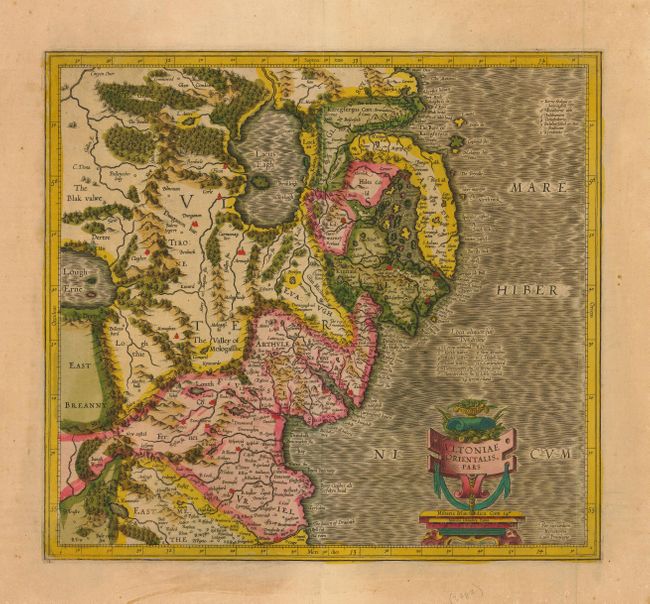
Subject: Ireland

Period: 1606 (circa)

Publication:

Color: Hand Color

Size:
15 x 13.7 inches
38.1 x 34.8 cm
Download High Resolution Image
(or just click on image to launch the Zoom viewer)

Superb early map covering Down and Antrim Counties in Northern Ireland. This was one of five Irish maps Gerard Mercator designed for the second part of his Atlas. It is beautifully engraved with a moiré pattern in the sea, strong topographical features in the interior, and ornamented with a title cartouche incorporating the distance scale. Latin text on verso.

References: Law, p. 20

Condition: A+

Superb original color with a bit of uneven toning in margins.

Estimate: $475 - $550

Sold for: $350

Closed on 3/2/2005

Archived