Catalog Archive
Auction 110, Lot 317
"Nieuwe Paskaert van de Gheheele Westersche Scheep-Vaert op Nieusuyt Ondervindinghe van Schrandre Stierheden Naaukeurigh Geteeckent en samengebracht", Keulen, Johannes van
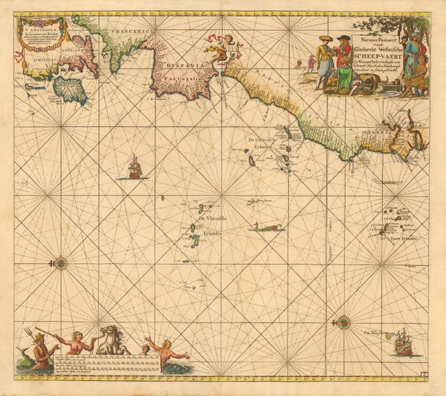
Subject: Atlantic Ocean
Period: 1654 (circa)
Publication: De Groote Zee-Atlas of Water-Werelt…
Color: Hand Color
Size:
22.2 x 20 inches
56.4 x 50.8 cm
Download High Resolution Image
(or just click on image to launch the Zoom viewer)
(or just click on image to launch the Zoom viewer)