Catalog Archive
Auction 110, Lot 211
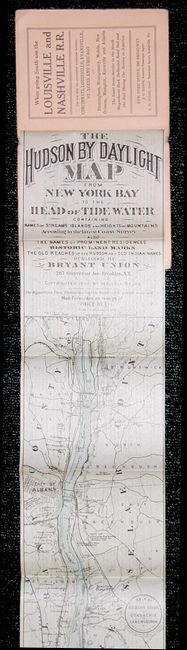
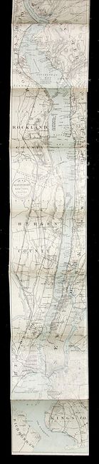
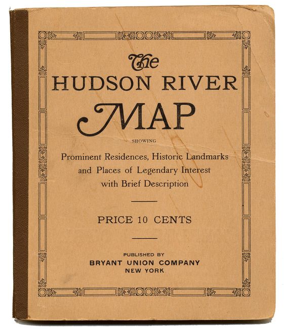
"The Hudson by Daylight Map from New York Bay to the Head of Tide Water Containing Names of Streams Islands and Height of Mountains According to the Latest Coast Survey Also the Names of Prominent Residences Historic Land Marks the Old Reaches….", Bruce, Wallace
1 of 3
Subject: New York
Period: 1894 (published)
Publication: Bryant Union Company
Color: Hand Color
Size:
14 x 106 inches
35.6 x 269.2 cm
Download High Resolution Image
(or just click on image to launch the Zoom viewer)
(or just click on image to launch the Zoom viewer)