Catalog Archive
Auction 110, Lot 203
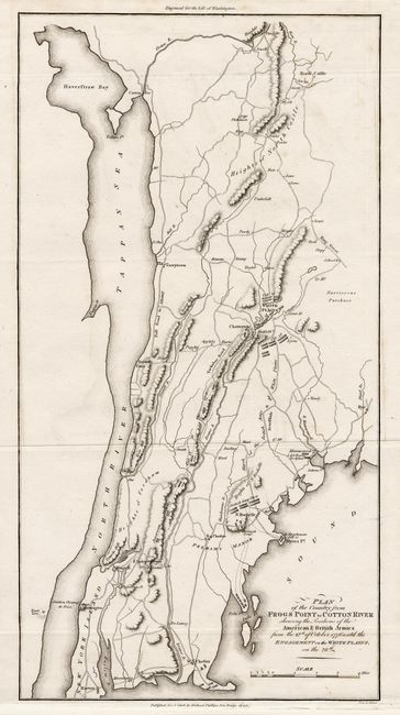
"Plan of the Country from Frogs Point to Cotton River, Shewing the Positions of the American & British Armies from the 12th of October 1776 until the Engagement on the White Plains, on the 28th", Phillips, Richard (Sir)
Subject: New York
Period: 1806 (dated)
Publication: Marshall's Life of Washington
Color: Black & White
Size:
8.7 x 16.4 inches
22.1 x 41.7 cm
Download High Resolution Image
(or just click on image to launch the Zoom viewer)
(or just click on image to launch the Zoom viewer)