Catalog Archive
Auction 109, Lot 569
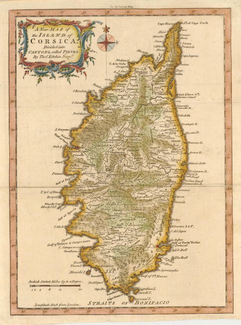
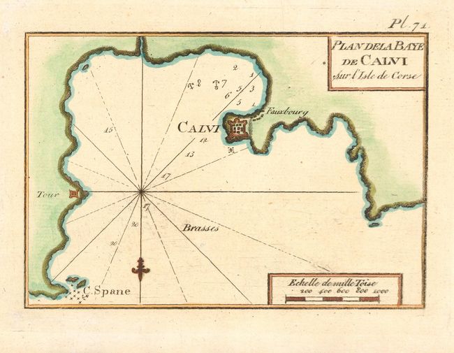
"[Lot of 2] A New Map of the Island of Corsica, Divided into Cantons, called Pieves [with] Plan dela Baye de Calvi Sur l'Isle de Corse", Various
1 of 2
Subject: Mediterranean - Corsica
Period: 1762-79 (published)
Publication:
Color: Hand Color
Size:
See Description
Download High Resolution Image
(or just click on image to launch the Zoom viewer)
(or just click on image to launch the Zoom viewer)