Catalog Archive
Auction 109, Lot 521
"Nieuwe Kaart van Europisch Turkyen na de Alderlaaste Ondekking int Licht Gebracht", Tirion, Isaac
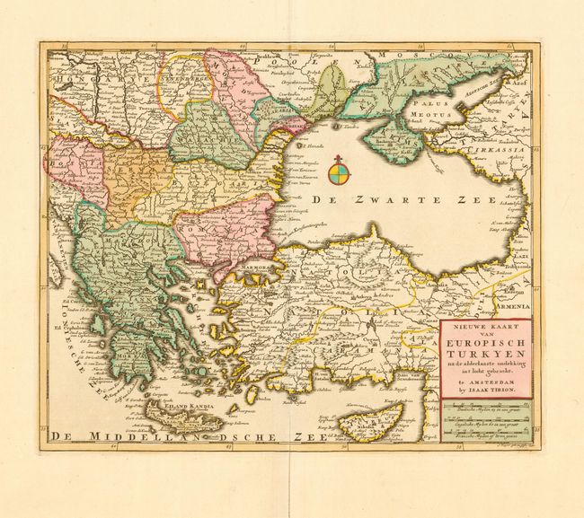
Subject: Black Sea and Balkans
Period: 1733 (dated)
Publication: Nieuwe en Beknopte Hand Atlas
Color: Hand Color
Size:
13.7 x 11.2 inches
34.8 x 28.4 cm
Download High Resolution Image
(or just click on image to launch the Zoom viewer)
(or just click on image to launch the Zoom viewer)