Catalog Archive
Auction 109, Lot 512

"[On 2 Sheets] The Russian Dominions in Europe drawn from the latest Maps printed, by the Academy of Sciences, St. Petersburg; revised and corrected, with the Post Roads & New Governments, from the Russian Atlas of 1806", Wyld, James
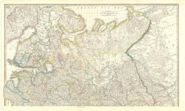
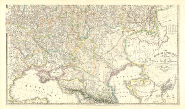
Subject: Russia

Period: 1838 (dated)

Publication: New General Atlas

Color: Hand Color

Size:
36.5 x 21.2 inches
92.7 x 53.8 cm
Download High Resolution Image
(or just click on image to launch the Zoom viewer)

Superb, large-scale map printed on two sheets. The map extends north through the Ukraine to Smolensk and east to the Caspian Sea on the southern map, and including Finland, the Arctic Sea coast, Muscovia, Archangel, and parts of Siberia on the northern map. Filled with incredible detail including the post roads, ancient ruins and interesting notations. The map was originated by Jasper Nantiat and originally published by William Faden in 1806. This edition was published by James Wyld, successor to Faden. Size is for each sheet.

References:

Condition: A

Some faint offsetting, still very good.

Estimate: $200 - $250

Sold for: $110

Closed on 12/1/2004

Archived