Catalog Archive
Auction 109, Lot 369
"A Map Shewing the Places in England & Wales, Sending Members to Parliament with the Numbers Returned, Divisions of Counties and Population Places of County Election, Polling Places and Boroughs Disfranchised, according to the Reform and Boundary Acts", Wyld, James
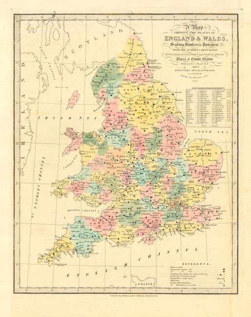
Subject: England & Wales
Period: 1838 (dated)
Publication: New General Atlas
Color: Hand Color
Size:
14 x 17.2 inches
35.6 x 43.7 cm
Download High Resolution Image
(or just click on image to launch the Zoom viewer)
(or just click on image to launch the Zoom viewer)