Catalog Archive
Auction 109, Lot 367
"Nouvelle Carte du Gouvernement Civil d'Angleterre et de Celuy de la Ville de Londres", Chatelain, Henry Abraham
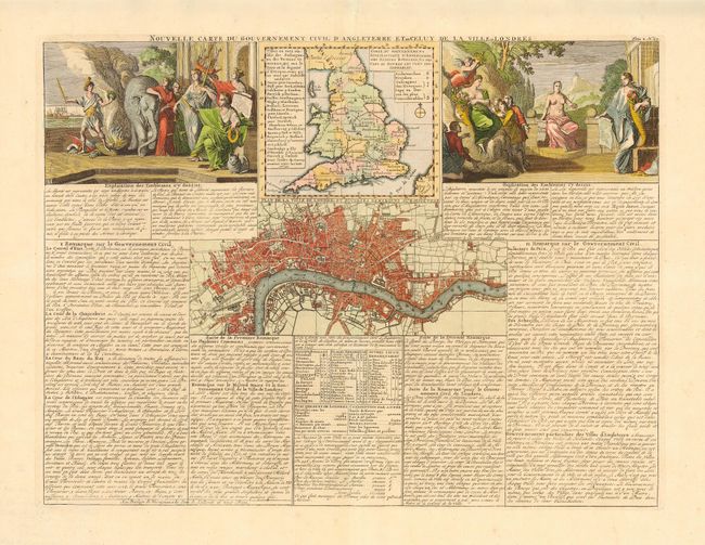
Subject: England & Wales
Period: 1708 (circa)
Publication: Atlas Historique et Methodique
Color: Hand Color
Size:
18 x 13.6 inches
45.7 x 34.5 cm
Download High Resolution Image
(or just click on image to launch the Zoom viewer)
(or just click on image to launch the Zoom viewer)