Catalog Archive
Auction 109, Lot 269
"Map of Utah Territory Representing the Extent of the Irrigable, Timber and Pasture Lands", U.S. Department of Interior
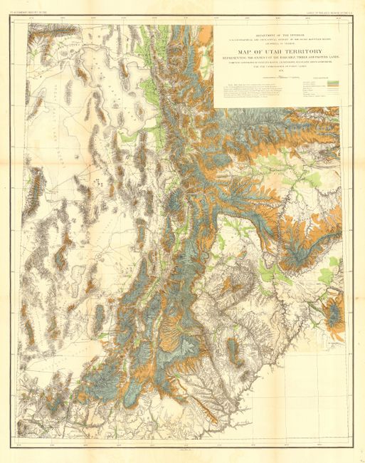
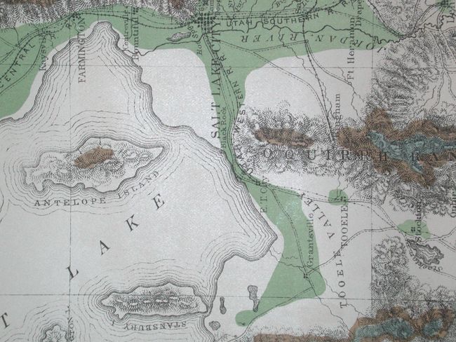
Subject: Utah
Period: 1878 (dated)
Publication: HR Doc 73, 45th Cong., 2nd Sess.
Color: Hand Color
Size:
28.5 x 36 inches
72.4 x 91.4 cm
Download High Resolution Image
(or just click on image to launch the Zoom viewer)
(or just click on image to launch the Zoom viewer)