Catalog Archive
Auction 109, Lot 253
"State of Oregon", General Land Office
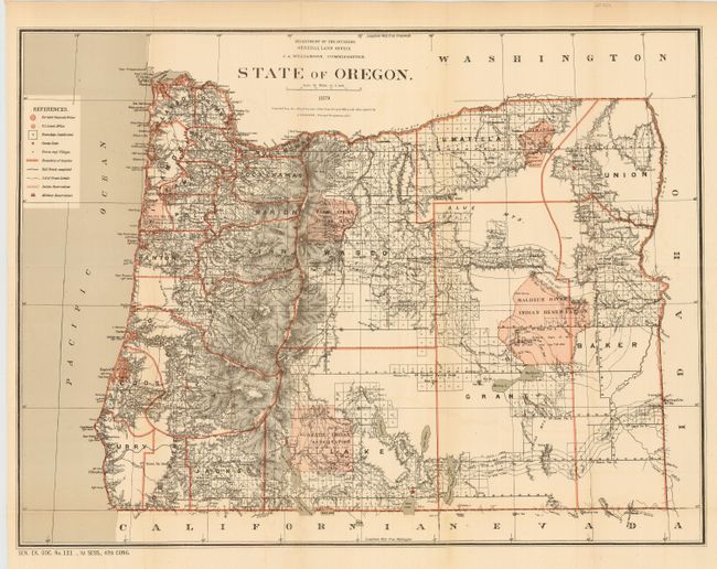
Subject: Oregon
Period: 1879 (dated)
Publication: Sen. Ex. Doc. No. 121, 1st Sess., 47th Congress
Color: Printed Color
Size:
22.4 x 17 inches
56.9 x 43.2 cm
Download High Resolution Image
(or just click on image to launch the Zoom viewer)
(or just click on image to launch the Zoom viewer)