Catalog Archive
Auction 109, Lot 224
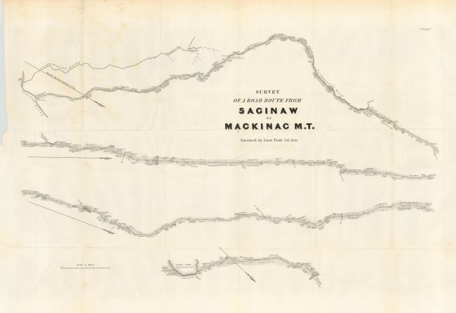
"Survey of a Road Route from Saginaw to Mackinac M.T.", U.S. War Dept.
Subject: Michigan
Period: 1861 (published)
Publication: Sen. Doc #234, 25th Congress 2nd Sess.
Color: Black & White
Size:
27 x 18 inches
68.6 x 45.7 cm
Download High Resolution Image
(or just click on image to launch the Zoom viewer)
(or just click on image to launch the Zoom viewer)