Catalog Archive
Auction 108, Lot 681
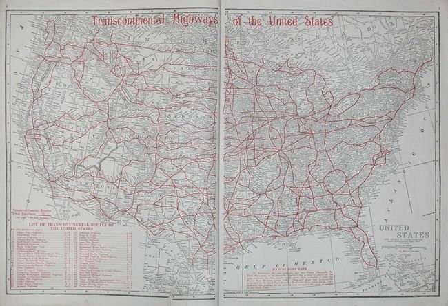
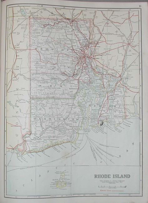
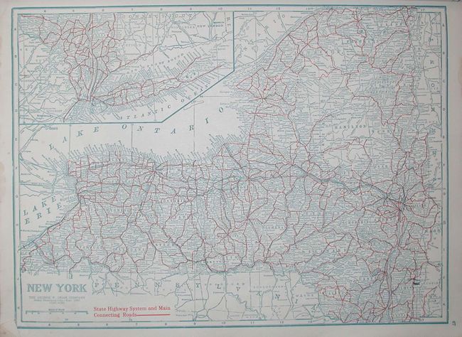
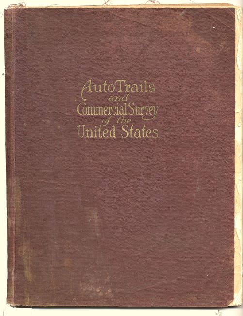
"Auto Trails and Commercial Survey of the United States", Cram, George F. & Company
Subject: Atlases
Period: 1921 (circa)
Publication:
Color: Printed Color
Size:
11.7 x 15 inches
29.7 x 38.1 cm
Download High Resolution Image
(or just click on image to launch the Zoom viewer)
(or just click on image to launch the Zoom viewer)