Catalog Archive
Auction 108, Lot 564

"Charte von dem Brittischen Reiche an Ganges und den Marattenstaaten in Indien…", Weimar Geographisches Institut
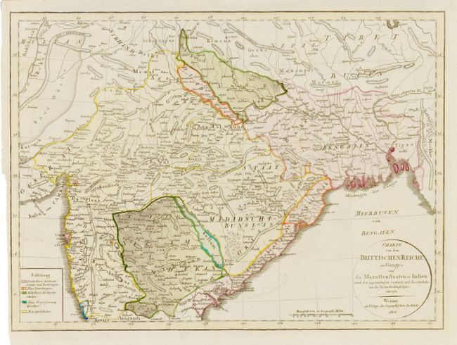
Subject: India

Period: 1804 (dated)

Publication:

Color: Hand Color

Size:
16.5 x 12 inches
41.9 x 30.5 cm
Download High Resolution Image
(or just click on image to launch the Zoom viewer)

An attractive and interesting map of the northern half of India extending north into Nepal, Bhutan and Tibet. Covers in detail the region south of Delhi to about the latitude of Goa and including the Ganges river and delta. An abundance of detail is provided although it is somewhat difficult to relate the names with those of present-day India. And early Weimar issue.

References:

Condition: A

Printed on hand-laid paper with watermark. Folding as issued with binding trim.

Estimate: $120 - $150

Unsold

Closed on 9/29/2004

Archived