Catalog Archive
Auction 108, Lot 434

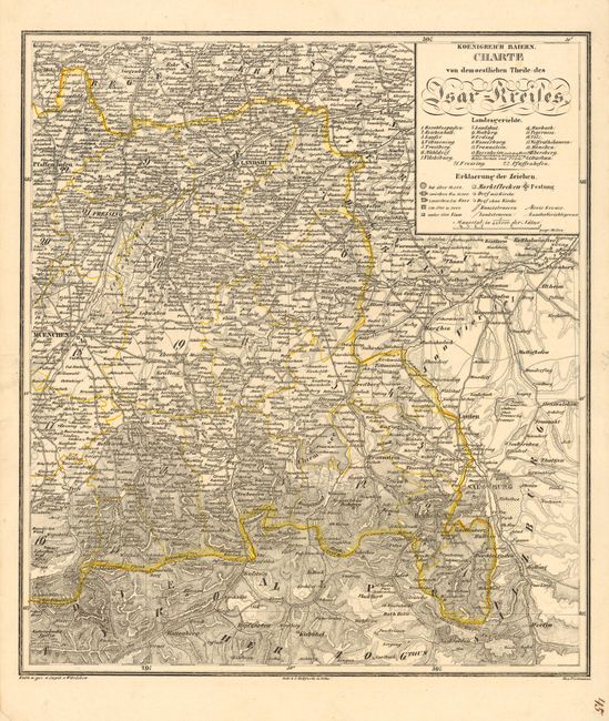
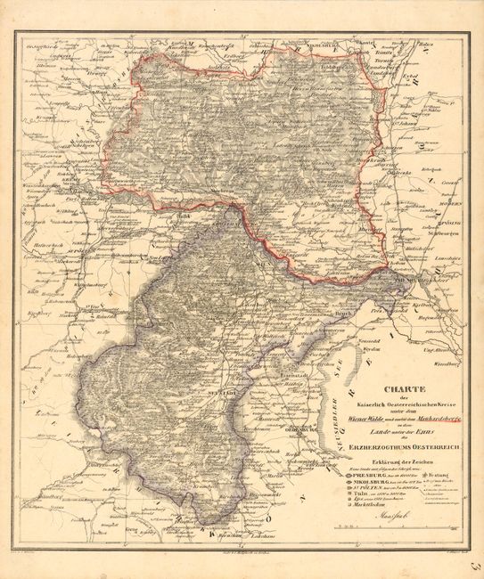
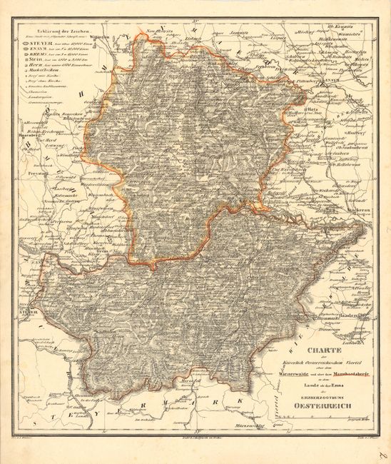
"[Lot of 3 - Germany & Austria]",

Subject: Germany and Austria

Period: 1800 (circa)

Publication:

Color: Hand Color

Size:
13.4 x 15.2 inches
34 x 38.6 cm
Download High Resolution Image
(or just click on image to launch the Zoom viewer)

Lot of three extremely detailed regional maps of southern Germany and Austria are from a German atlas lithographed by C. Hellfarth. The maps focus on the topography but also include roads, railways, and hundreds of villages.

1) "Charte der Kaiserlich Oesterreichischen Viertel ober dem Wiener Walde und ober dem Mannhardsberge" includes the Danube River from Enns to Tulln.
2) "Charte der Kaiserlich Oesterreichischen Kreise unter dem Wiener Walde und unter dem Manhardsberg" covers the Danube River from Krems to Pressburg.
3) "Koenigreich Baiern. Charte von demoestlichen Theile des Isar-Kreiles" covers the region including Munich, Landshut and Salzburg.

References:

Condition: B

Couple of light spots.

Estimate: $150 - $200

Unsold

Closed on 9/29/2004

Archived