Catalog Archive
Auction 108, Lot 355

"Novus XVII Inferioris Germaniae Provinciarum Typus…", Blaeu, Willem

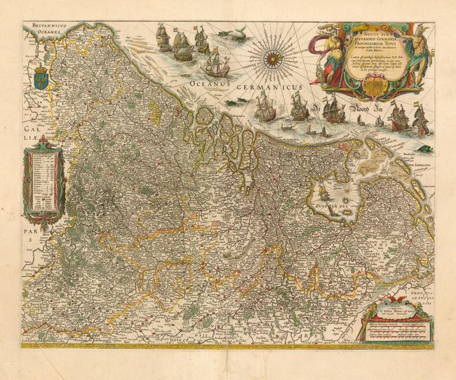
Subject: Netherlands, Belgium & Luxembourg

Period: 1642 (circa)

Publication: Atlas Maior

Color: Hand Color

Size:
19.8 x 15.6 inches
50.3 x 39.6 cm
Download High Resolution Image
(or just click on image to launch the Zoom viewer)

This is undoubtedly one of the most magnificent maps of the seventeen provinces of the Netherlands. It was first produced as a separately issued wall map in 1608 with figurative panels and re-issued (without the panels) by Johannes Blaeu in the fourth volume of the lavish Atlas Maior. The map is densely engraved with minute detail and elaborately embellished with cartouches, sailing ships and boats, sea monsters and a fine compass rose.

References:

Condition: A

Full wide margins. Printer's crease in lower left corner of map with old repair on bottom fold. Remnants of framer's tape on verso of paper edges.

Estimate: $3,000 - $3,500

Unsold

Closed on 9/29/2004

Archived