Catalog Archive
Auction 108, Lot 189

"Illinois and Missouri", Tanner, Henry Schenck

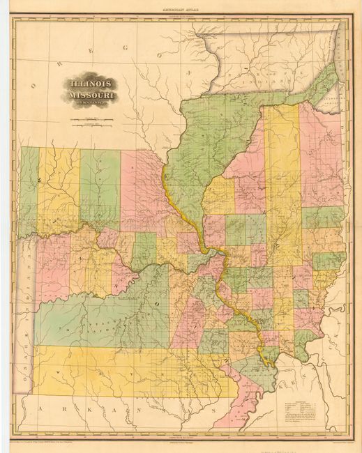
Subject: Illinois and Missouri

Period: 1823 (dated)

Publication: American Atlas

Color: Hand Color

Size:
22.4 x 27.6 inches
56.9 x 70.1 cm
Download High Resolution Image
(or just click on image to launch the Zoom viewer)

First state of this important and very early map showing Illinois and Missouri as states. In Illinois organized counties appear only in the southern part of the state. The northernmost part of the state is still the preserve of the Sauk and Fox. A huge region between the Illinois and Mississippi rivers is labeled Military Bounty Lands. In Missouri counties appear only along the Mississippi and Missouri rivers while the northern and southern extremities are still completely unsettled.

References:

Condition: B

Fine original color with some faint offsetting. Trimmed into left border by binder, else very good.

Estimate: $900 - $1,000

Sold for: $850

Closed on 9/29/2004

Archived