Catalog Archive
Auction 108, Lot 175
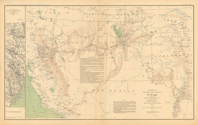
"Territory and Military Department of Utah", U.S. War Dept.
Subject: United States - Southwestern
Period: 1895 (published)
Publication: Atlas to Accompany Official Records of the Union and Confederate Armies
Color: Printed Color
Size:
27.5 x 16.3 inches
69.9 x 41.4 cm
Download High Resolution Image
(or just click on image to launch the Zoom viewer)
(or just click on image to launch the Zoom viewer)