Catalog Archive
Auction 108, Lot 149

"[Indiana & Kentucky]", U.S. Government

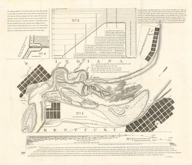
Subject: United States - Central

Period: 1833 (circa)

Publication: American State Papers Vol. I

Color: Black & White

Size:
20 x 17 inches
50.8 x 43.2 cm
Download High Resolution Image
(or just click on image to launch the Zoom viewer)

A detailed map of a planned canal and locks on the Ohio River near Louisville, Shippingport and Clarkesville. Locates Rock, Corn and Goose Islands, shipyards, reefs, and more. Includes 3 supplemental views and elevations of the canal. Many paper records of the early Congresses were destroyed when the Capital burned in 1814. Between 1833 and 1861 Congress reprinted selected maps and documents from the first 14 Congresses in this publication. This original of this map was issued in 1807.

References:

Condition: A

Sharp, crisp impression. Issued folding, now backed with archival tissue. Closed tear in right blank margin, else fine.

Estimate: $80 - $100

Sold for: $60

Closed on 9/29/2004

Archived