Catalog Archive
Auction 108, Lot 140

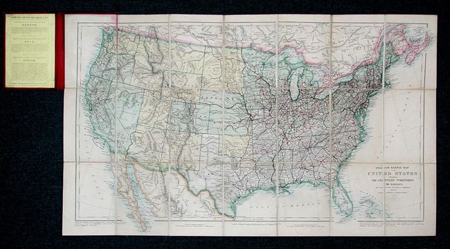
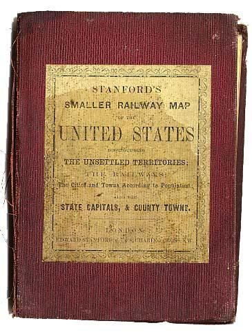
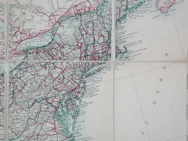
"Stanford's Smaller Railway Map of the United States Distinguishing the Unsettled Territories; The Railways; The Cities and Towns According to Population; Also the State Capitals, & County Towns", Stanford, Edward

Subject: United States

Period: 1875 (dated)

Publication:

Color: Hand Color

Size:
28.5 x 16 inches
72.4 x 40.6 cm
Download High Resolution Image
(or just click on image to launch the Zoom viewer)

Very uncommon pocket map of the United States with superb detail of the early rail system. The Transcontinental line crosses the western territories with only a few spurs into the mining regions Colorado. Otherwise the railroads are confined east of the 100th meridian, and in the state of California. Topography is well delineated and there are numerous Indian tribes and forts. Dissected and linen-backed, folding into cloth covered boards with paper label.

References: Manasek #119.

Condition: A

Covers and linen damp stained, but map very good. Corners bumped with cloth fraying on spine. Overall very good for this type of map.

Estimate: $450 - $500

Unsold

Closed on 9/29/2004

Archived