Catalog Archive
Auction 108, Lot 107

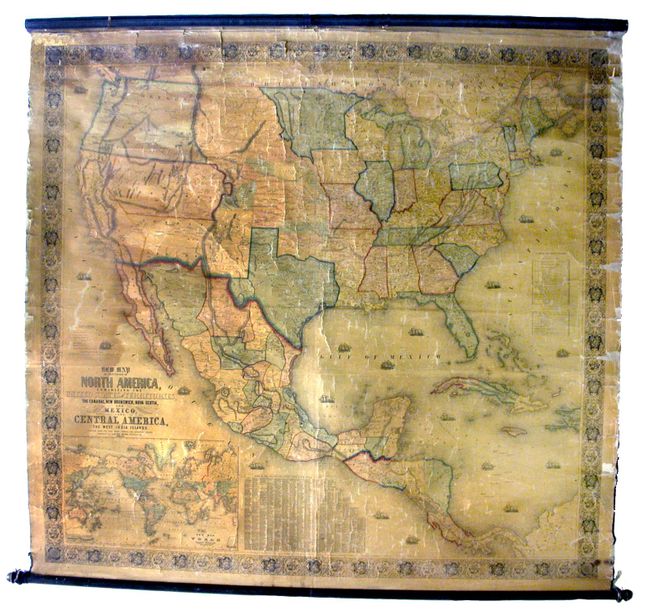
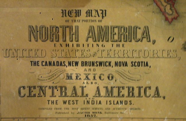
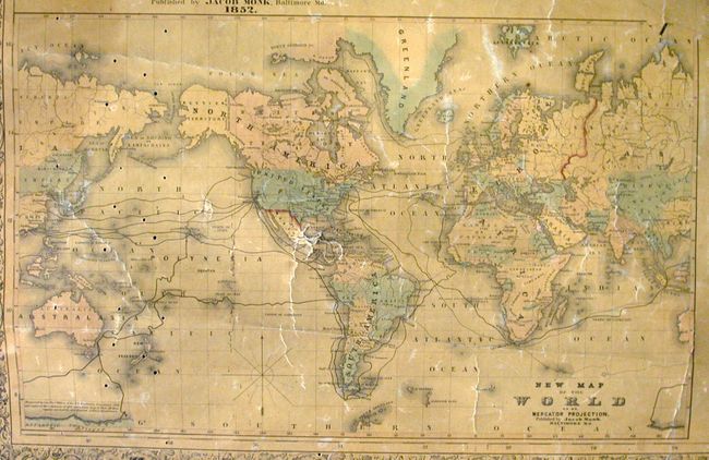
"New Map of that portion of North America, exhibiting the United States and Territories, the Canadas, New Brunswick, Nova Scotia and Mexico, also Central America and the West India Islands", Monk, Jacob

Subject: North America

Period: 1852 (dated)

Publication:

Color: Hand Color

Size:
59.5 x 55.4 inches
151.1 x 140.7 cm
Download High Resolution Image
(or just click on image to launch the Zoom viewer)

An early and majestic wall map that was published just as the country was beginning to expand fully to the Pacific following the land gains from the Mexican War. The gold region in California is remarkably inaccurate with Auburn shown well north of Sacramento City and lying between it and the Marysville & Yuba City area. The Great Basin area is also inaccurate and roughly follows the Fremont model. Filled with wagon routes, explorer trails, forts, Indian tribes, and so much more. The middle portion of the U.S. is unorganized with only Indian nations named and colored. Much of this area is organized into the Proposed Territory of Nebraska. Minnesota includes Dakota, which is not named. Out west only California and the territories of Oregon, New Mexico and Utah exist. Pre-Gadsden border with Mexico. Includes a table of distances and a table of counties and towns that lists over 1,200 names. Large inset of the World on Mercator's projection. Both original wooden rollers and original linen backing. All references quote the 1853 edition, this being an earlier and perhaps first edition. A very nice example that displays better than the condition description may suggest.

References: Wheat (TMW) #794; Wheat (GOLD) 243; Rumsey 602.

Condition: B

Overall light toning of varnish with some staining along top edge. Roughness along sides, lacking ribbon binding, with one small loss to border. Numerous worm holes along left edge in Pacific and part of the world map inset.

Estimate: $1,000 - $1,200

Sold for: $900

Closed on 9/29/2004

Archived