Catalog Archive
Auction 107, Lot 546

"Chart of the Northern Passage between Asia & America", Thomson, John

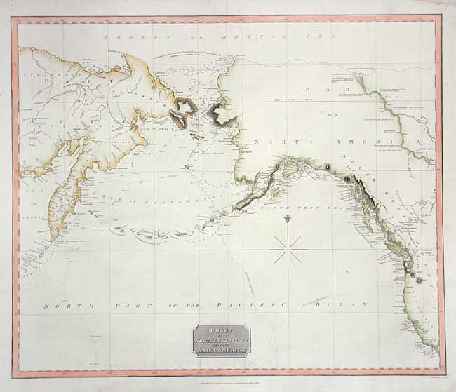
Subject: North Pacific

Period: 1816 (dated)

Publication:

Color: Hand Color

Size:
23 x 19.2 inches
58.4 x 48.8 cm
Download High Resolution Image
(or just click on image to launch the Zoom viewer)

Very informative map showing the development of the Alaskan and northwest coastline. Alaska is still a bit misshapen with virtually no interior topography. The tracks of Cook's voyage in 1778 and 1779 are traced and in the Arctic is a note of McKenzie's discoveries. The watercourse from Slave Lake to the Arctic Sea is shown, along with interesting anecdotal notes ("Mountains with bright stones" and "According to Indian Report, a Sea a short way to the West"). Includes great detail of the Pacific coast with the exception of Puget Sound, which is quite tiny.

References:

Condition: A

Clean and bright with later color.

Estimate: $300 - $350

Sold for: $240

Closed on 6/9/2004

Archived