Catalog Archive
Auction 107, Lot 451

"[Holy Land]", Bunting, Heinrich
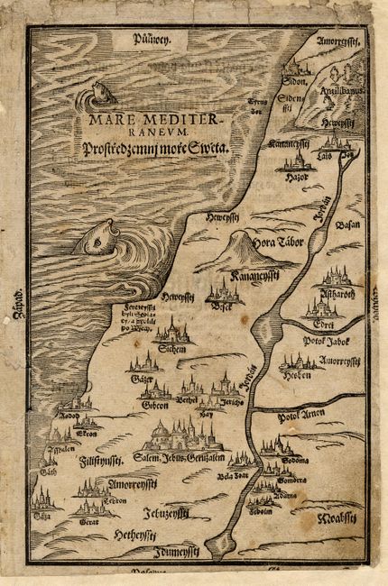
Subject: Holy Land

Period: 1592 (published)

Publication: Itinerarium Sacrae Scripturae

Color: Black & White

Size:
6.7 x 10.2 inches
17 x 25.9 cm
Download High Resolution Image
(or just click on image to launch the Zoom viewer)

Woodcut map showing the geography of the Holy Land at the time of Christ. The major cities are depicted in miniature view form. From the uncommon Czech edition of Bunting's unusual book. Color copy of the atlas title page included.

References:

Condition: B

A few stains and soiling. Backed with sturdy tissue repairing small holes and marginal tears. Paper replacement at left including some facsimile of neatline and sea. Margins extended to accommodate framing.

Estimate: $300 - $350

Sold for: $110

Closed on 6/9/2004

Archived