Catalog Archive
Auction 107, Lot 139

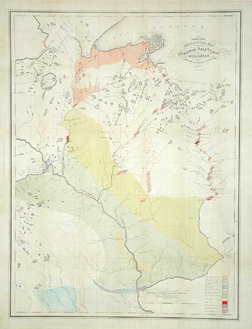
"Provisional Geological Map of Part of the Chippeway Land District of Wisconsin with Part of Iowa & of Minnesota Territory", Owen, David Dale

Subject: United States - Central

Period: 1847 (dated)

Publication: Report of a Geological Reconnaissance

Color: Hand Color

Size:
25.5 x 34 inches
64.8 x 86.4 cm
Download High Resolution Image
(or just click on image to launch the Zoom viewer)

This scarce map was prepared to illustrate David D. Owen's report. An early geological survey of the area between Prairie du Chien (here Fort Crawford and Kipy Saging) and north along the Mississippi River to the Minneapolis area and further north beyond Duluth. Extends east to include the rapids along the northern reaches of the Wisconsin River. A legend in the lower right explains the use of color to indicate the twelve different geological formations.

References:

Condition: A

Good impression and fine original coloring. Issued folding, now backed with archival tissue. A little light toning along some folds and some insignificant spots, still very good for a map of this size.

Estimate: $250 - $350

Sold for: $700

Closed on 6/9/2004

Archived