Catalog Archive
Auction 107, Lot 118
"Freistaat von Nord America", Lilienstern, R. von
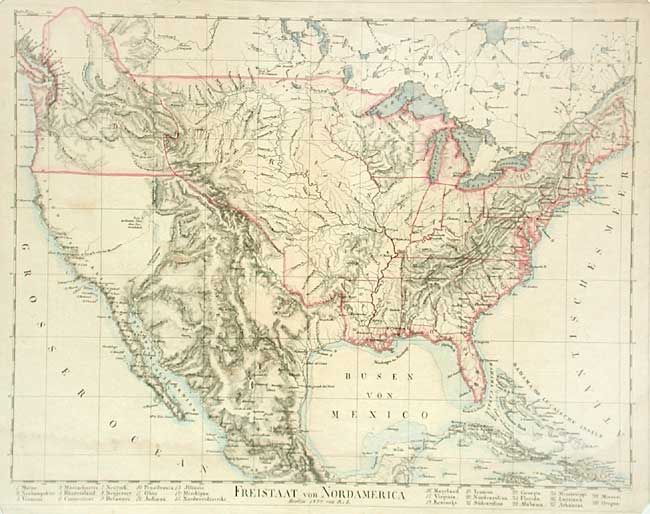
Subject: United States
Period: 1824 (dated)
Publication:
Color: Hand Color
Size:
17.7 x 13.5 inches
45 x 34.3 cm
Download High Resolution Image
(or just click on image to launch the Zoom viewer)
(or just click on image to launch the Zoom viewer)