Catalog Archive
Auction 106, Lot 537
"A Plan of the Principal Harbour & Town, of the Isl. S. Maries Laying off the East Coast of the Isl. Madagascar… [on sheet with] The Bay of Antongall on the N.E. part of the Island Madagascar…", Herbert, William
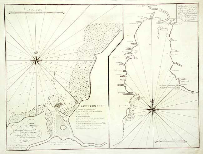
Subject: Madagascar
Period: 1779 (published)
Publication: New Directory for East Indies
Color: Black & White
Size:
23 x 17.2 inches
58.4 x 43.7 cm
Download High Resolution Image
(or just click on image to launch the Zoom viewer)
(or just click on image to launch the Zoom viewer)