Catalog Archive
Auction 106, Lot 491

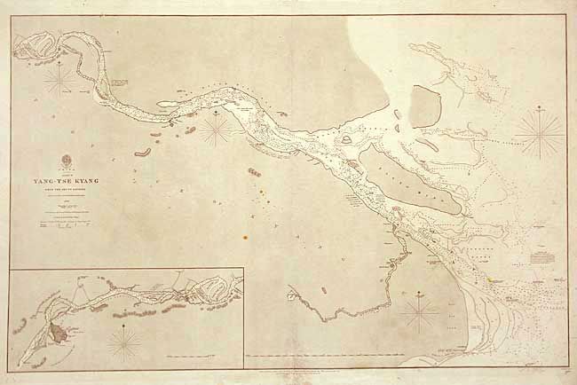
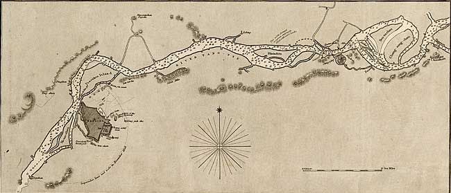
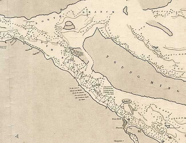
"China Sheet IX - Yang-Tse Kyang From the Sea to Nanking", British Admiralty

Subject: China

Period: 1859 (dated)

Publication:

Color: Black & White

Size:
37.2 x 23.7 inches
94.5 x 60.2 cm
Download High Resolution Image
(or just click on image to launch the Zoom viewer)

Great large-scale chart of the mouth of the Yangsee River. The East India Company carried out the charting and marine surveys of the China Sea from the appointment of the first hydrographer in 1779 until the company's demise in 1858. This chart was originally issued in 1842 and was updated with corrections to 1859. It is filled with the usual navigational information as well as the location of wrecked ships and the location of batteries (including the number of guns). A large inset continues the chart up the river to Nanking.

References:

Condition: B

Centerfold split, approximately l" past neatline. A few scattered spots and some light pencil notations.

Estimate: $200 - $240

Sold for: $210

Closed on 3/3/2004

Archived