Catalog Archive
Auction 106, Lot 482

"Carte de l'Empire de Perse…", Bonne/Lattre
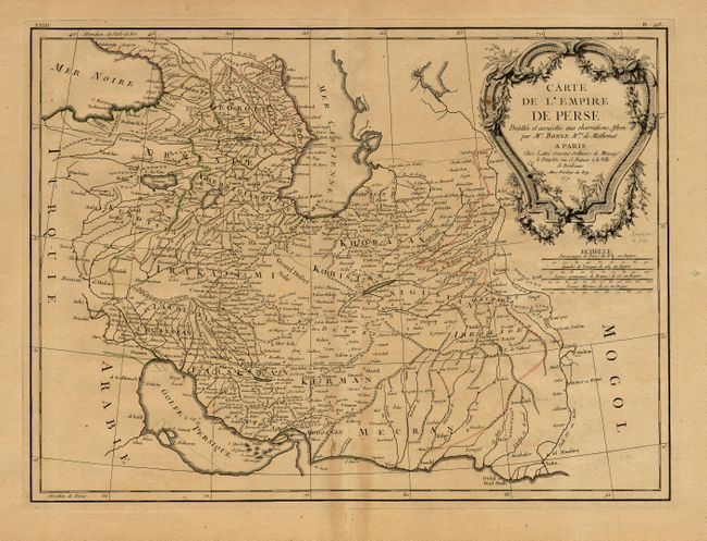
Subject: Persia

Period: 1771 (dated)

Publication: Atlas Moderne

Color: Hand Color

Size:
17 x 12.5 inches
43.2 x 31.8 cm
Download High Resolution Image
(or just click on image to launch the Zoom viewer)

Finely engraved map covering the region between Baghdad and east into Pakistan to the Indus River. Extends to show the Gulf of Persia and the Strait of Hormuz, and north to show much of the Caspian Sea. Filled with scores of place names. Decorative rococo-style cartouche, uncolored. Engraved by J. Arrivet.

References: cf. Phillips (A) 664.

Condition: B

On thick paper with full margins. Some toning along centerfold, else very good.

Estimate: $180 - $220

Sold for: $100

Closed on 3/3/2004

Archived