Catalog Archive


Auction 106, Lot 414
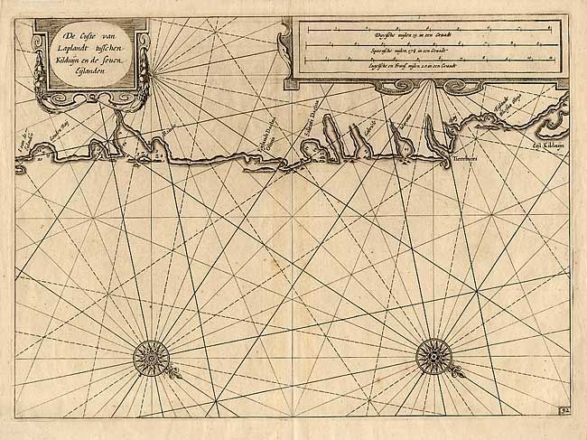
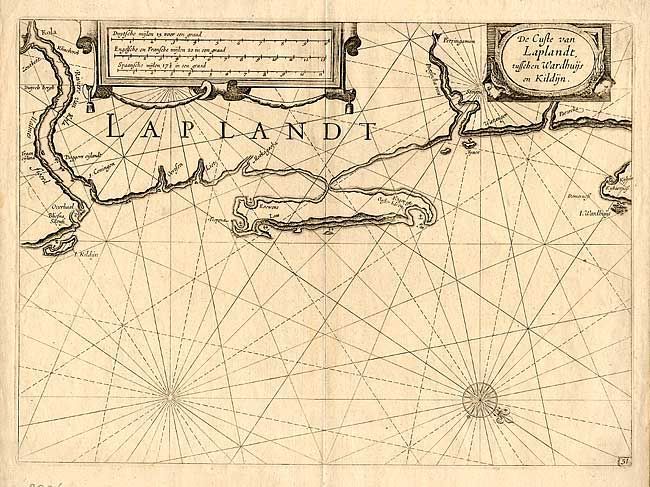
"[Lot of 2] De Custe van Laplandt, tusschen Wardhuijs en Kildijn [and] …tusschen Kirduyn en de seuen Eylanden", Blaeu, (Family)
Subject: Russia
Period: 1640 (circa)
Publication: Atlas Zeespigel
Color: Black & White
Size:
14 x 10.2 inches
35.6 x 25.9 cm
Download High Resolution Image
(or just click on image to launch the Zoom viewer)
(or just click on image to launch the Zoom viewer)

