Catalog Archive
Auction 106, Lot 33

"Carte Hydrographique des parties Connues du Globe, Entre le Soixante-Dixieme Parallele au Nord et le Soixantieme au Sud…", Beautemps-Beaupre, Charles Francois
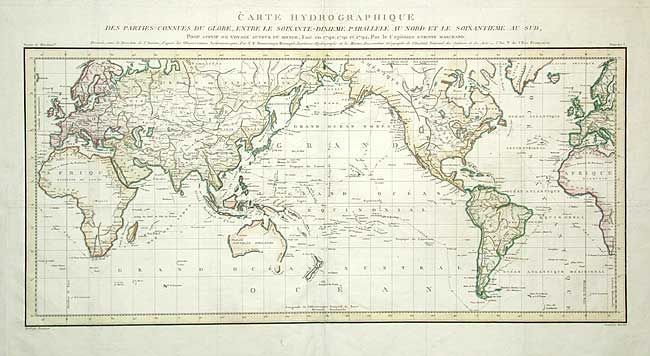
Subject: World

Period: 1798 (published)

Publication: Claret de Fleurieu's Voyage autour du Monde

Color: Hand Color

Size:
29 x 13.5 inches
73.7 x 34.3 cm
Download High Resolution Image
(or just click on image to launch the Zoom viewer)

Large world map on Mercator's projection, with the Pacific Ocean at center and ship's tracks of Capt. Marchand. This expedition, the second of the French circumnavigations, was commanded by Capt. Etienne Marchand. Specifically on a fur-trading mission, Marchand's ship sailed around Cape Horn, touched at the Marquesas and at Hawaii, and visited Norfolk Sound, the Queen Charlotte Islands, Nootka Sound, etc.

References:

Condition: A

Issued folding, now pressed. Repaired short binding tear in blank margin. Bit of faint foxing, mostly in blank margins.

Estimate: $450 - $550

Sold for: $325

Closed on 3/3/2004

Archived