Catalog Archive
Auction 106, Lot 318

"[Lot of 2] L'Allemagne la Boheme et la Hongrie… [and] Nieuwe en Naukeurige Kaart der Noord-westelyke deelen van Duitschland…",

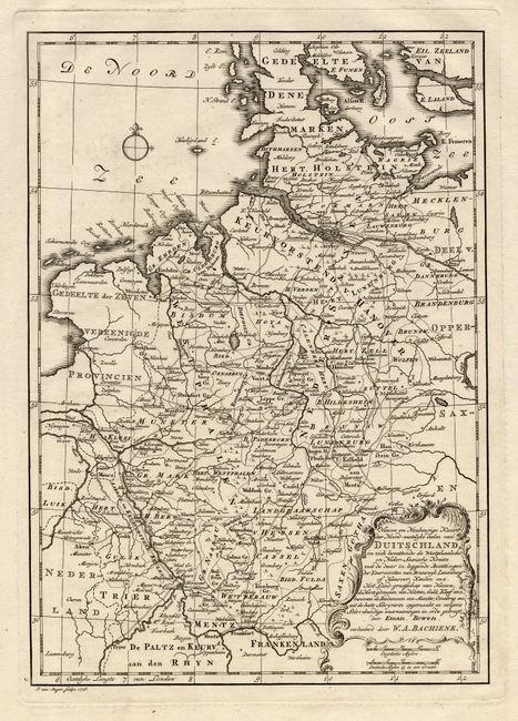
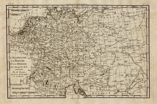
Subject: Central Europe

Period:

Publication:

Color: Black & White

Size:
See Description
Download High Resolution Image
(or just click on image to launch the Zoom viewer)

Two copper engraved maps covering Central Europe. First (12.3 x 7") by R. Bonne, Paris, c. 1770, extends further east to show most of Poland. Second (8.7 x 12.3") by W.A. Bachiene, Amsterdam, dated 1776, focuses mostly on Germany and is based on the cartography of Emanuel Bowen. It is embellished with a title cartouche and a simple compass rose.

References:

Condition: A

First with a little surface soil.

Estimate: $120 - $170

Unsold

Closed on 3/3/2004

Archived