Catalog Archive
Auction 106, Lot 282
"St. Helena This Islands belongs to ye English East India Company… [on sheet with] The Bay of Agoa de Saldanha…", Moll, Herman
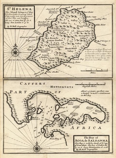
Subject: St. Helena & South Africa
Period: 1732 (published)
Publication: Atlas Minor
Color: Black & White
Size:
10.8 x 8 inches
27.4 x 20.3 cm
Download High Resolution Image
(or just click on image to launch the Zoom viewer)
(or just click on image to launch the Zoom viewer)