Catalog Archive
Auction 106, Lot 179

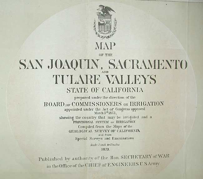
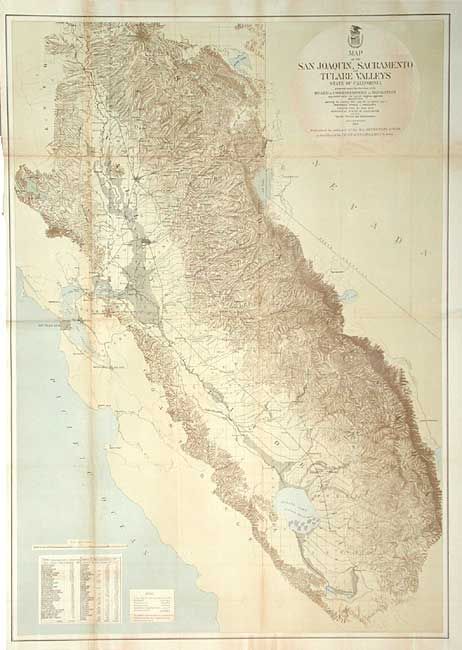
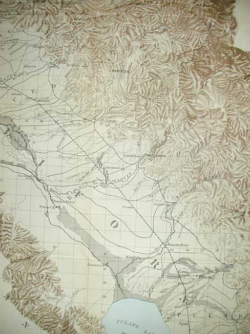
"Map of the San Joaquin, Sacramento and Tulare Valleys State of California…", U.S. Army

Subject: California

Period: 1873 (dated)

Publication: Board of Commissioners on Irrigation

Color: Printed Color

Size:
24 x 34 inches
61 x 86.4 cm
Download High Resolution Image
(or just click on image to launch the Zoom viewer)

An interesting map of the "waterways" of California from the vicinity of Bakersfield to Lassen's Peak, including San Francisco. The mountainous area of the Sierra Nevada is clearly shown through brown hachuring on a beige background that gives a 3-D impression of terrain elevations. Tulare Lake is shown fully flooded with 687 sq. miles of area. Finely detailed throughout including railroads, canals, and floodplains.

References:

Condition: B

Some toning along folds. Issued folding, now tissue backed.

Estimate: $250 - $350

Sold for: $130

Closed on 3/3/2004

Archived