Catalog Archive
Auction 106, Lot 154

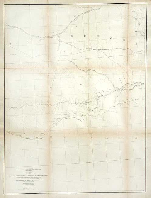
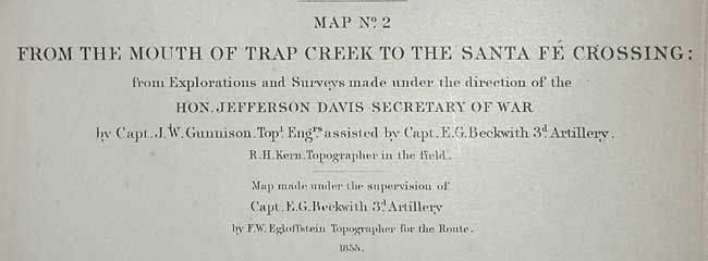
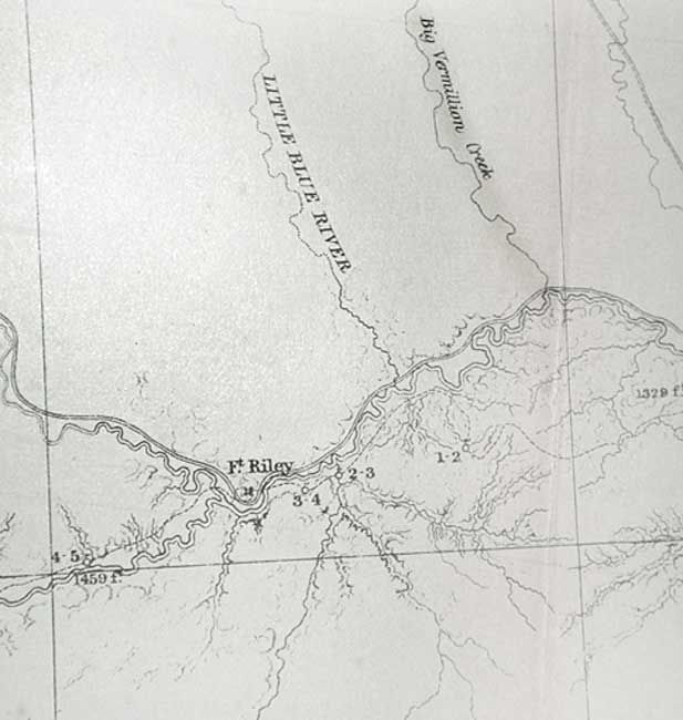
"Map No. 2 From the Mouth of Trap Creek to the Santa Fe Crossing…", Gunnison, John William [Capt.]

Subject: United States - Western

Period: 1855 (dated)

Publication: U.S. Pacific Railroad Surveys

Color: Black & White

Size:
24 x 32 inches
61 x 81.3 cm
Download High Resolution Image
(or just click on image to launch the Zoom viewer)

During the 1850s, the U.S. government sponsored an extensive series of expeditions designed to gather information on the vast new territories that had been acquired in western North America. The discovery of gold in California further stimulated westward traffic and heightened the need for a faster and more convenient way to bring the far-flung parts of the country together. In 1853 Congress commissioned the Army's Topographic Bureau to conduct a series of surveys to find a suitable route for a transcontinental railroad. There were six major expeditions; five of them covered the area between the Great Plains and west coast, and the sixth explored the coastal states of California and Oregon. All of these expeditions were accompanied by naturalists and artists to document the landscape, flora and fauna along the route. The reports, maps and lithographs were published in the 13 volume report "Explorations and Surveys to ascertain the most practicable and economical route for a Railroad from the Mississippi river to the Pacific Ocean."

This map details the proposed routes across the territories of Kansas and Nebraska. The survey routes shown are 1) leaving the Missouri R. at Kansas and following the Pawnee Republican Fork; 2) leaving the Missouri R. at St. Joseph westward to the Republican River; and 3) leaving the Missouri R. at Council Bluffs westward along the Platte River. The Santa Fe Trail is shown.

References: Wheat (TMW) #844.

Condition: B

Toned along folds. One small clean puncture in lower blank area. Issued folding, now backed with tissue

Estimate: $120 - $160

Sold for: $60

Closed on 3/3/2004

Archived