Catalog Archive
Auction 106, Lot 114

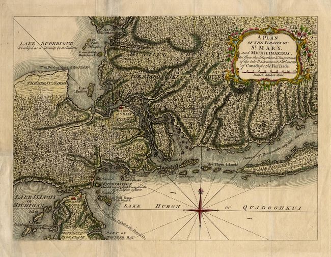
"A Plan of the Straits of St. Mary, and Michilimakinac to Shew the Situation & Importance of the two Westernmost Settlements of Canada for the Fur Trade", Anon.
Subject: Colonial Great Lakes

Period: 1761 (circa)

Publication: London Magazine

Color: Hand Color

Size:
12.7 x 9.2 inches
32.3 x 23.4 cm
Download High Resolution Image
(or just click on image to launch the Zoom viewer)

Uncommon map of the region where the fur trade flourished during the colonial period. The map is densely engraved to depict the mountainous and forested landscape and fill with interesting notations concerning the Indian inhabitants. Locates the Mission of St. Mary and Mission of St. Ignace, as well as the "Common Track of the Vessels to the Detroit &c." Lake Superior is noted as "Worship'd as a Divinity by the Indians." Decorated with a delicately engraved title cartouche and a fleur-de-lis.

References: Jolly LOND-197; Sellers and Van Ee #770.

Condition: B

Issued folding and now pressed with margin extended at binding side. Repair of a tear just into neatline above title cartouche.

Estimate: $350 - $400

Sold for: $375

Closed on 3/3/2004

Archived