Catalog Archive
Auction 106, Lot 113

"Pensylvania Nova Jersey et Nova York cum Regionibus ad Fluvium Delaware in America Sitis…", Seutter/Lotter

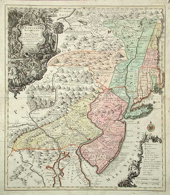
Subject: Colonial Mid Atlantic

Period: 1750 (circa)

Publication:

Color: Hand Color

Size:
19.4 x 22.5 inches
49.3 x 57.2 cm
Download High Resolution Image
(or just click on image to launch the Zoom viewer)

This is a notable pre-Revolutionary War era map based on Lewis Evans’ map of 1749, one of the first and most important maps of the region. This German version had wider circulation than the Evans map and therefore significant influence on the European view of the colonies. It extends from New England to the estuaries of the Delaware and Chesapeake. The British colonies are confined east of the Appalachian Mountains and are depicted with some early, and not entirely accurate, boundary configurations. New Hampshire's entire eastern border is the Atlantic Ocean. Massachusetts is just below New Hampshire, but does not include Boston or Cape Cod, which are shown as part of Connecticut. New York is divided into three sections and includes the western part of Massachusetts and Vermont. The map is graphically engraved to shows mountains, forests, colonial settlements and Indian villages. Two (uncolored) ornate cartouches fill opposite corners of the map: title is surrounded in an elaborate engraving featuring William Penn bartering with the natives and indigenous flora and fauna; distance scale and map key is enclosed in a decorative cartouche with a compass rose. Lotter engraved the map for his father-in-law Matthias Seutter.

References: McCorkle #750.4.

Condition: B

Bit of minor spotting, mostly in margins.

Estimate: $2,200 - $2,400

Sold for: $2,100

Closed on 3/3/2004

Archived