Catalog Archive
Auction 106, Lot 106
"A Map of the British and French Settlements in North America…", Bowen, Thomas
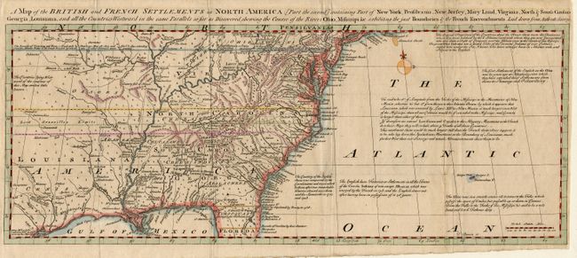
Subject: Colonial United States and Canada
Period: 1755 (published)
Publication: General Magazine of Arts & Sciences
Color: Hand Color
Size:
19.2 x 7.5 inches
48.8 x 19.1 cm
Download High Resolution Image
(or just click on image to launch the Zoom viewer)
(or just click on image to launch the Zoom viewer)