Catalog Archive
Auction 105, Lot 531
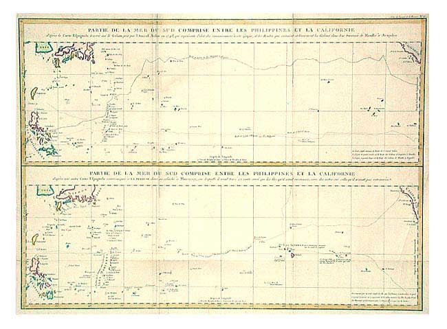
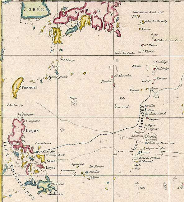
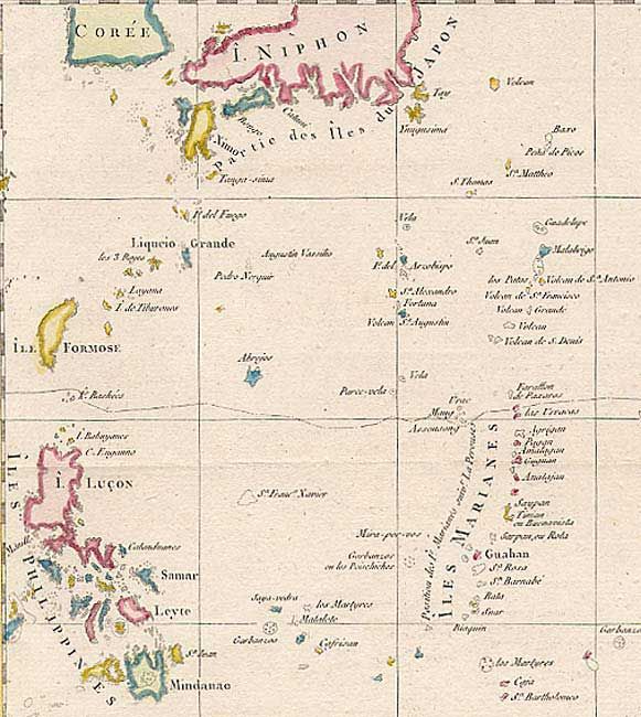
"Partie de la Mer du Sud Comprise Entre les Philippines et la Californie [on sheet with] Partie de la Mer du Sud Comprise Entre les Philippines et la Californie", La Perouse, Comte Jean F. Galoup, de
1 of 3
Subject: Pacific Ocean
Period: 1797 (published)
Publication: Atlas du Voyage de la Perouse
Color: Hand Color
Size:
26.8 x 19.5 inches
68.1 x 49.5 cm
Download High Resolution Image
(or just click on image to launch the Zoom viewer)
(or just click on image to launch the Zoom viewer)