Catalog Archive
Auction 105, Lot 338
"A New Map of the County of Tyrol, and the Republic of Venice; Duchy of Mantua &c. &c.", Cary, John
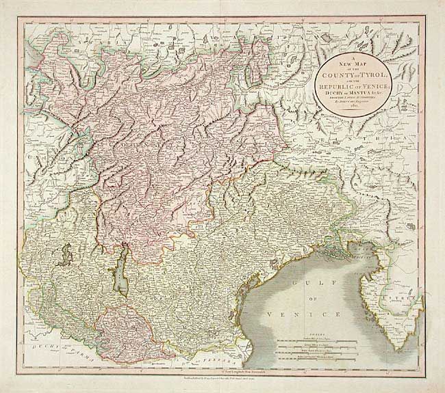
Subject: Southern Europe - Alps
Period: 1811 (dated)
Publication:
Color: Hand Color
Size:
20.2 x 17.8 inches
51.3 x 45.2 cm
Download High Resolution Image
(or just click on image to launch the Zoom viewer)
(or just click on image to launch the Zoom viewer)