Catalog Archive
Auction 105, Lot 287

"A Generall Chart from England to Cape Bona Espranca with the Coast of Brasile", Mount & Page

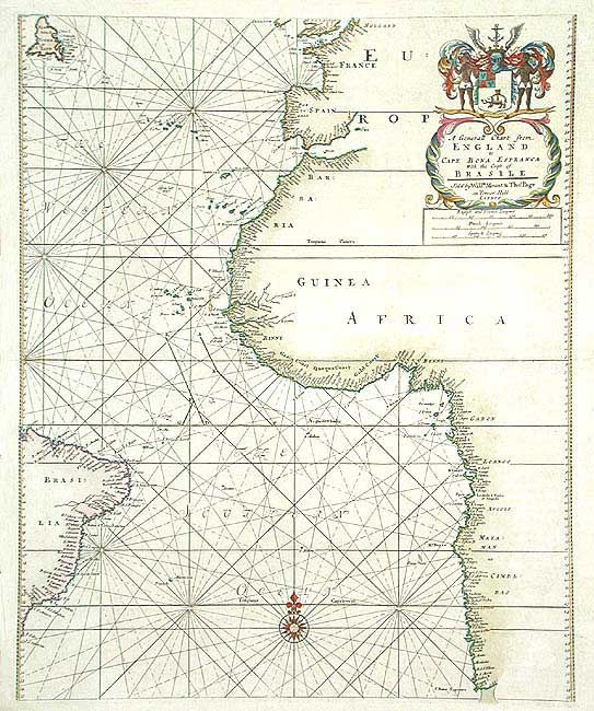
Subject: South Atlantic

Period: 1709-29 (circa)

Publication: English Pilot

Color: Hand Color

Size:
17 x 21 inches
43.2 x 53.3 cm
Download High Resolution Image
(or just click on image to launch the Zoom viewer)

Sea chart covering the west coast of Africa to Cape of Good Hope and the coast of Brazil. Much detail along the coastlines, but little in the interior save for the naming of the Senegal and Gambia rivers. The Atlantic is labeled the Southern Ocean while further north it is named the Western Ocean. Embellished with a fine compass rose and filled with rhumb lines. Decorative title cartouche that features a coat of arms reputed to be that of the English Africa Company.

References:

Condition: A

Beautiful impression and good coloring. On thick paper with a few very fine printers creases and trace of toning, still very good.

Estimate: $400 - $500

Unsold

Closed on 12/3/2003

Archived