Catalog Archive
Auction 105, Lot 177
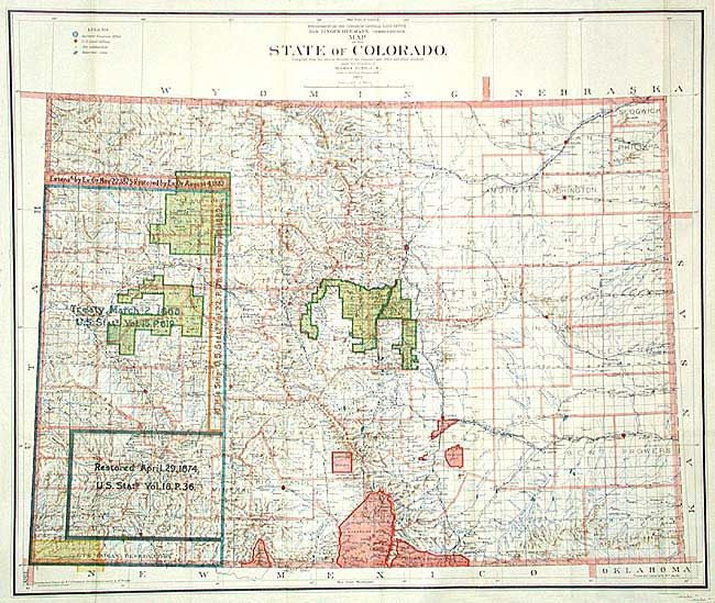
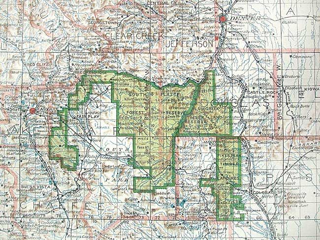
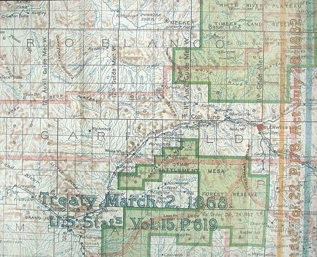
"Map of the State of Colorado", King, Harry
1 of 3
Subject: Colorado
Period: 1902 (dated)
Publication: General Land Office
Color: Printed Color
Size:
34 x 30 inches
86.4 x 76.2 cm
Download High Resolution Image
(or just click on image to launch the Zoom viewer)
(or just click on image to launch the Zoom viewer)